


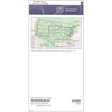
FAA L5/6 Instrument Flight Rules (IFR) Enroute Low Altitude Chart - 07/09/26 thru 09/03/26
10023
Benefits
Benefits
Shipping & Delivery
Shipping & Delivery
Returns
Returns
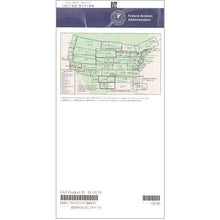
FAA IFR Low Altitude Charts are essential for professional pilots navigating the complex US/Mexico border region.
This official FAA IFR Low Altitude Chart offers comprehensive and current navigational data for instrument flight operations below 18,000 feet in challenging border airspace.
Comprehensive Coverage for Safe Flight
For border region flight operations, access to detailed designated low-altitude flight routes (Victor Airways), navigation reference points, air traffic control checkpoints, and GPS-based navigation routes (RNAV) is crucial. This authentic FAA chart covers the critical southwestern corridor, including Arizona, California, New Mexico, and Texas. It provides precise information for routine commercial operations and specialized cross-border flights. Flight instructors find this resource invaluable for practical training scenarios, while corporate flight departments rely on its comprehensive coverage of special use airspace and military training routes to maintain operational efficiency.
Indispensable Information for Border Operations
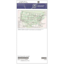
What makes an IFR low altitude chart indispensable for border operations? Beyond standard airway depictions, this chart integrates VHF navigational facilities with complete frequency data, controlled airspace boundaries, and current edition updates published on the FAA's standard 56-day cycle. Whether you need current IFR navigation charts for a single flight or prefer a subscription service, this chart's scale varies from 5 to 20 nautical miles per inch, providing optimal detail for diverse operational requirements.
Master IFR navigation along the US/Mexico border with the essential, official FAA L5/6 Low Altitude Chart, ensuring safety and compliance with the latest flight data. Order your official FAA chart today!
-
 SaleVendor:AeroNav Products
FAA L23/24 Instrument Flight Rules (IFR) Enroute Low Altitude Chart - 07/09/26 thru 09/03/26
Regular price $5.00Sale price $5.00 Regular priceUnit price per$5.25 -
 SaleVendor:AeroNav Products
FAA L3/4 Instrument Flight Rules (IFR) Enroute Low Altitude Chart - 07/09/26 thru 09/03/26
Regular price $5.00Sale price $5.00 Regular priceUnit price per$5.25 -
 SaleVendor:AeroNav Products
FAA L21/22 Instrument Flight Rules (IFR) Enroute Low Altitude Chart - 07/09/26 thru 09/03/26
Regular price $5.00Sale price $5.00 Regular priceUnit price per$5.25 -
 SaleVendor:AeroNav Products
FAA L27/28 Instrument Flight Rules (IFR) Enroute Low Altitude Chart - 07/09/26 thru 09/03/26
Regular price $5.00Sale price $5.00 Regular priceUnit price per$5.25 -
 SaleVendor:AeroNav Products
FAA L35/36 Instrument Flight Rules (IFR) Enroute Low Altitude Chart - 07/09/26 thru 09/03/26
Regular price $5.00Sale price $5.00 Regular priceUnit price per$5.25 -
 SaleVendor:AeroNav Products
FAA L15/16 Instrument Flight Rules (IFR) Enroute Low Altitude Chart - 07/09/26 thru 09/03/26
Regular price $5.00Sale price $5.00 Regular priceUnit price per$5.25 -
 SaleVendor:AeroNav Products
FAA L1/2 Instrument Flight Rules (IFR) Enroute Low Altitude Chart - 07/09/26 thru 09/03/26
Regular price $5.00Sale price $5.00 Regular priceUnit price per$5.25 -
 SaleVendor:AeroNav Products
FAA L17/18 Instrument Flight Rules (IFR) Enroute Low Altitude Chart - 07/09/26 thru 09/03/26
Regular price $5.00Sale price $5.00 Regular priceUnit price per$5.25 -
 SaleVendor:AeroNav Products
FAA L19/20 Instrument Flight Rules (IFR) Enroute Low Altitude Chart - 07/09/26 thru 09/03/26
Regular price $5.00Sale price $5.00 Regular priceUnit price per$5.25 -
 SaleVendor:AeroNav Products
FAA L25/26 Instrument Flight Rules (IFR) Enroute Low Altitude Chart - 07/09/26 thru 09/03/26
Regular price $5.00Sale price $5.00 Regular priceUnit price per$5.25


-
 FREE U.S. Shipping (on $100+)Save on outbound delivery!
 -
 Authorized DealerGenuine Gear
 -
 Expert Pilot SupportGear Tested by Real Pilots
 -
 SHIPS TODAY (Order by 3 PM ET)Get It Faster!
- Choosing a selection results in a full page refresh.
- Opens in a new window.