


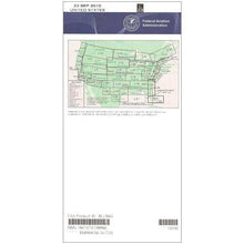
FAA L21/22 Instrument Flight Rules (IFR) Enroute Low Altitude Chart - 07/09/26 thru 09/03/26
10031
Benefits
Benefits
Shipping & Delivery
Shipping & Delivery
Returns
Returns
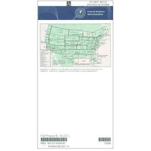
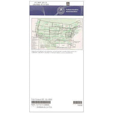
The FAA Enroute Low US L21/22 Chart is the essential IFR navigation tool for pilots flying below 18,000 feet across the Gulf of Mexico.
Comprehensive Coverage: This official FAA chart is the only resource that covers the entire Gulf Coast from Southeast Texas to the Florida Panhandle, ensuring complete regional coverage in one authoritative source.
The L21/22 chart answers the question, "Which FAA chart covers the Gulf of Mexico IFR routes?" with its extensive coverage of Louisiana, Mississippi, Alabama, and parts of Georgia. It displays all vital IFR routes, GPS-based navigation lanes, reporting points, military practice routes, restricted areas, airspace borders, and radio station locations. This detailed presentation transforms complex Gulf Coast navigation into manageable, precise flight planning.
Updated Navigation Data
Published on the FAA's standard 56-day cycle, this chart ensures pilots have the most current navigational data for safe IFR operations. Whether you're a charter operator managing tight schedules, a flight instructor teaching real-world route planning, or a corporate flight department prioritizing risk mitigation, the L21/22 chart subscription option guarantees seamless updates. The chart's scale varies from 5 to 20 nautical miles per inch, providing optimal detail for efficient route planning.
Stay safe and compliant on every IFR flight across the Gulf of Mexico with the official FAA L21/22 Enroute Low Chart, covering the entire region and updated every 56 days. Buy now or subscribe for seamless chart updates!
-
 SaleVendor:AeroNav Products
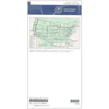
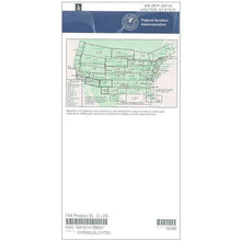
FAA L23/24 Instrument Flight Rules (IFR) Enroute Low Altitude Chart - 07/09/26 thru 09/03/26
Regular price $5.00Sale price $5.00 Regular priceUnit price per$5.25 -
 SaleVendor:AeroNav Products
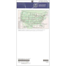
FAA L3/4 Instrument Flight Rules (IFR) Enroute Low Altitude Chart - 07/09/26 thru 09/03/26
Regular price $5.00Sale price $5.00 Regular priceUnit price per$5.25 -
 SaleVendor:AeroNav Products
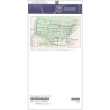
FAA L27/28 Instrument Flight Rules (IFR) Enroute Low Altitude Chart - 07/09/26 thru 09/03/26
Regular price $5.00Sale price $5.00 Regular priceUnit price per$5.25 -
 SaleVendor:AeroNav Products
FAA L35/36 Instrument Flight Rules (IFR) Enroute Low Altitude Chart - 07/09/26 thru 09/03/26
Regular price $5.00Sale price $5.00 Regular priceUnit price per$5.25 -
 SaleVendor:AeroNav Products
FAA L15/16 Instrument Flight Rules (IFR) Enroute Low Altitude Chart - 07/09/26 thru 09/03/26
Regular price $5.00Sale price $5.00 Regular priceUnit price per$5.25 -
 SaleVendor:AeroNav Products
FAA L1/2 Instrument Flight Rules (IFR) Enroute Low Altitude Chart - 07/09/26 thru 09/03/26
Regular price $5.00Sale price $5.00 Regular priceUnit price per$5.25 -
 SaleVendor:AeroNav Products
FAA L17/18 Instrument Flight Rules (IFR) Enroute Low Altitude Chart - 07/09/26 thru 09/03/26
Regular price $5.00Sale price $5.00 Regular priceUnit price per$5.25 -
 SaleVendor:AeroNav Products
FAA L19/20 Instrument Flight Rules (IFR) Enroute Low Altitude Chart - 07/09/26 thru 09/03/26
Regular price $5.00Sale price $5.00 Regular priceUnit price per$5.25 -
 SaleVendor:AeroNav Products
FAA L25/26 Instrument Flight Rules (IFR) Enroute Low Altitude Chart - 07/09/26 thru 09/03/26
Regular price $5.00Sale price $5.00 Regular priceUnit price per$5.25 -
 SaleVendor:AeroNav Products
FAA L5/6 Instrument Flight Rules (IFR) Enroute Low Altitude Chart - 07/09/26 thru 09/03/26
Regular price $5.00Sale price $5.00 Regular priceUnit price per$5.25


-
 FREE U.S. Shipping (on $100+)Save on outbound delivery!
 -
 Authorized DealerGenuine Gear
 -
 Expert Pilot SupportGear Tested by Real Pilots
 -
 SHIPS TODAY (Order by 3 PM ET)Get It Faster!
- Choosing a selection results in a full page refresh.
- Opens in a new window.