


FAA Los Angeles VFR Terminal Area Chart - 07/09/26 thru 09/03/26
10127
Benefits
Benefits
Shipping & Delivery
Shipping & Delivery
Returns
Returns
The FAA Los Angeles Terminal Area Chart is your essential pilot navigation tool for safely navigating Los Angeles’ congested Class B airspace.
This official FAA TAC Los Angeles chart offers unparalleled detail, showcasing landmarks, control zones, and flyways that standard sectional charts cannot match.
Enhanced Situational Awareness for Pilots
For pilots wondering, "What chart do I need for VFR in Los Angeles?" this Los Angeles VFR chart is the answer. It provides unmatched situational awareness in the heavily controlled airspace around major airports like LAX. Whether you're a student pilot preparing for checkrides, a flight instructor training the next generation, or a professional charter pilot managing demanding schedules, this chart simplifies Southern California's complex airspace into manageable, visual guidance. The detailed pilot map uses a large scale (1 inch equals 3.43 nautical miles) to display essential altitudes, radio frequencies, and aeronautical data, invaluable for navigating busy terminals and intricate flight corridors.
Navigate High-Traffic Zones Safely
The integrated VFR Flyway Planning Chart on the reverse side answers another critical question: how do I safely navigate around high-traffic zones? This feature presents proven flight paths and recommended altitudes designed to help smaller aircraft avoid conflicts with larger, faster traffic. Updated every 56 days through the FAA's rigorous revision cycle, this Los Angeles Class B airspace map ensures you always have current, regulatory-compliant information for safe operations in the LA basin. It is an indispensable resource for flight training, recreational flying, and professional aviation operations throughout Southern California.
Fly confidently through LA's challenging airspace with the essential FAA Los Angeles Terminal Area Chart. Always up-to-date for maximum accuracy and including the vital VFR Flyway Planning Chart, get your official chart now!
-
 SaleVendor:AeroNav Products
FAA Atlanta VFR Terminal Area Chart - 07/09/26 thru 09/03/26
Regular price $5.99Sale price $5.99 Regular priceUnit price per$6.20 -
 SaleVendor:AeroNav Products
FAA Chart Supplement EC (Airport/Facility Directory East Central) - 07/09/26 thru 09/03/26
Regular price $7.50Sale price $7.50 Regular priceUnit price per$8.00 -
 SaleVendor:AeroNav Products
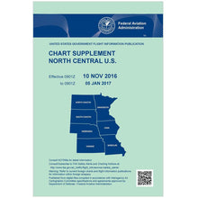
FAA Chart Supplement NC (Airport/Facility Directory North Central) - 07/09/26 thru 09/03/26
Regular price $7.50Sale price $7.50 Regular priceUnit price per$8.00 -
 SaleVendor:AeroNav Products
FAA Chart Supplement NE (Airport/Facility Directory North East) - 07/09/26 thru 09/03/26
Regular price $7.50Sale price $7.50 Regular priceUnit price per$8.00 -
 SaleVendor:AeroNav Products
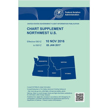
FAA Chart Supplement NW (Airport/Facility Directory North West) - 07/09/26 thru 09/03/26
Regular price $7.50Sale price $7.50 Regular priceUnit price per$8.00 -
 SaleVendor:AeroNav Products
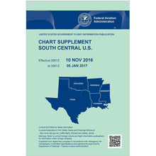
FAA Chart Supplement SC (Airport/Facility Directory South Central) - 07/09/26 thru 09/03/26
Regular price $7.50Sale price $7.50 Regular priceUnit price per$8.00 -
 SaleVendor:AeroNav Products
FAA Chart Supplement SE (Airport/Facility Directory South East) - 07/09/26 thru 09/03/26
Regular price $7.50Sale price $7.50 Regular priceUnit price per$8.00 -
 SaleVendor:AeroNav Products
FAA Chart Supplement Set (Airport/Facility Directory) - 07/09/26 thru 09/03/26
Regular price $50.00Sale price $50.00 Regular priceUnit price per$56.00 -
 SaleVendor:AeroNav Products
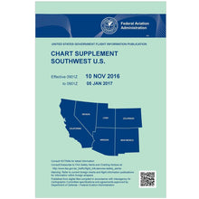
FAA Chart Supplement SW (Airport/Facility Directory South West) - 07/09/26 thru 09/03/26
Regular price $7.50Sale price $7.50 Regular priceUnit price per$8.00 -
 SaleVendor:AeroNav Products
FAA Detroit VFR Sectional Aeronautical Chart - 07/09/26 thru 09/03/26
Regular price $8.50Sale price $8.50 Regular priceUnit price per$9.75


-
 FREE U.S. Shipping (on $100+)Save on outbound delivery!
 -
 Authorized DealerGenuine Gear
 -
 Expert Pilot SupportGear Tested by Real Pilots
 -
 SHIPS TODAY (Order by 3 PM ET)Get It Faster!
- Choosing a selection results in a full page refresh.
- Opens in a new window.