


FAA Cincinnati VFR Terminal Area Chart - 07/09/26 thru 09/03/26
10119
Benefits
Benefits
Shipping & Delivery
Shipping & Delivery
Returns
Returns
FAA Cincinnati Terminal Area Chart delivers precise navigation detail for pilots in The Queen City's busy airspace.
Unmatched Accuracy with updates every 56 days ensures you have the latest aeronautical data for safe Class B airspace navigation.
For VFR flights into Cincinnati's complex airspace, centered around Cincinnati/Northern Kentucky International Airport, standard sectional charts lack detail. This Cincinnati Terminal Area Chart, with a 1:250,000 scale, shows critical landmarks, radio frequencies, and important altitudes. Whether you're a flight instructor, a private pilot, or a charter operator, this detailed aeronautical chart is essential for avoiding airspace violations and maintaining situational awareness.
VFR Flyway Planning Chart
The reverse side features a VFR Flyway Planning Chart with suggested flight paths and altitudes. It helps slower aircraft avoid conflicts with faster traffic. This cost-effective resource answers the common question, "How to navigate Class B airspace in Cincinnati?" by providing a comprehensive visual reference for both flight planning and real-time navigation decisions around CVG and surrounding airports.
Confidently navigate Cincinnati's Class B airspace on your VFR flights with the official FAA Terminal Area Chart. Ensure safety and compliance with its critical detail and 56-day updates for ultimate accuracy, get your latest edition now!
-
 SaleVendor:AeroNav Products
FAA Atlanta VFR Terminal Area Chart - 07/09/26 thru 09/03/26
Regular price $5.99Sale price $5.99 Regular priceUnit price per$6.20 -
 SaleVendor:AeroNav Products
FAA Chart Supplement EC (Airport/Facility Directory East Central) - 07/09/26 thru 09/03/26
Regular price $7.50Sale price $7.50 Regular priceUnit price per$8.00 -
 SaleVendor:AeroNav Products
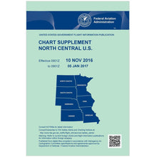
FAA Chart Supplement NC (Airport/Facility Directory North Central) - 07/09/26 thru 09/03/26
Regular price $7.50Sale price $7.50 Regular priceUnit price per$8.00 -
 SaleVendor:AeroNav Products
FAA Chart Supplement NE (Airport/Facility Directory North East) - 07/09/26 thru 09/03/26
Regular price $7.50Sale price $7.50 Regular priceUnit price per$8.00 -
 SaleVendor:AeroNav Products
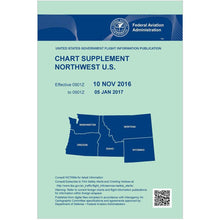
FAA Chart Supplement NW (Airport/Facility Directory North West) - 07/09/26 thru 09/03/26
Regular price $7.50Sale price $7.50 Regular priceUnit price per$8.00 -
 SaleVendor:AeroNav Products
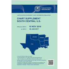
FAA Chart Supplement SC (Airport/Facility Directory South Central) - 07/09/26 thru 09/03/26
Regular price $7.50Sale price $7.50 Regular priceUnit price per$8.00 -
 SaleVendor:AeroNav Products
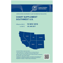
FAA Chart Supplement SE (Airport/Facility Directory South East) - 07/09/26 thru 09/03/26
Regular price $7.50Sale price $7.50 Regular priceUnit price per$8.00 -
 SaleVendor:AeroNav Products
FAA Chart Supplement Set (Airport/Facility Directory) - 07/09/26 thru 09/03/26
Regular price $50.00Sale price $50.00 Regular priceUnit price per$56.00 -
 SaleVendor:AeroNav Products
FAA Chart Supplement SW (Airport/Facility Directory South West) - 07/09/26 thru 09/03/26
Regular price $7.50Sale price $7.50 Regular priceUnit price per$8.00 -
 SaleVendor:AeroNav Products
FAA Detroit VFR Sectional Aeronautical Chart - 07/09/26 thru 09/03/26
Regular price $8.50Sale price $8.50 Regular priceUnit price per$9.75


-
 FREE U.S. Shipping (on $100+)Save on outbound delivery!
 -
 Authorized DealerGenuine Gear
 -
 Expert Pilot SupportGear Tested by Real Pilots
 -
 SHIPS TODAY (Order by 3 PM ET)Get It Faster!
- Choosing a selection results in a full page refresh.
- Opens in a new window.