




FAA Chart Supplement SE (Airport/Facility Directory South East) - 09/03/26 thru 10/29/26
Same-day shipping when ordered by 3 PM ET, Mon to Fri.
Final sale. This item can't be returned. Return policy
Earn $0.15 in Captain's Club Dividend. How it works
10002
Benefits
Benefits
Shipping & Delivery
Shipping & Delivery
Returns
Returns
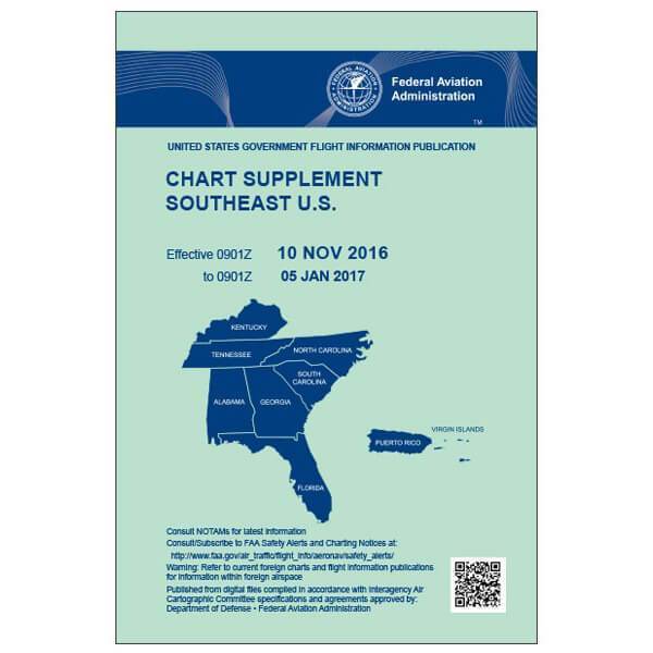
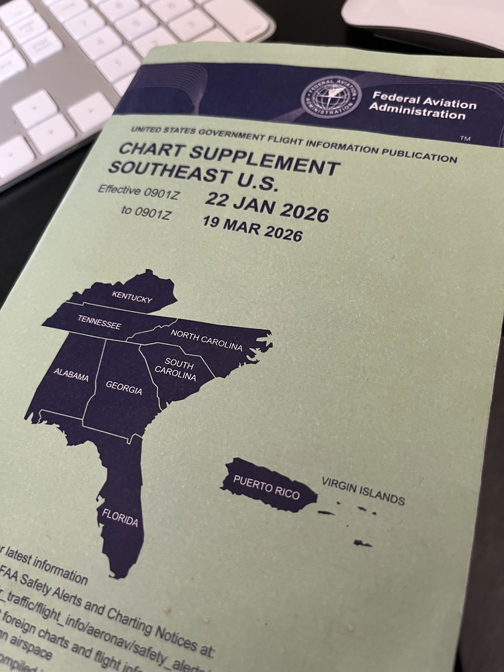
The AeroNav FAA Chart Supplement SE is the definitive aviation navigation reference for pilots in the Southeastern United States, Puerto Rico, and the US Virgin Islands.
This official FAA publication ensures pilots receive the most accurate and current aviation data for regulatory compliance and flight safety.
Comprehensive Coverage for Southeast Pilots
Pilots seeking information on "what airports are covered in Southeast Chart Supplement" will find this essential publication includes critical facility data for Alabama, Florida, Georgia, Kentucky, North Carolina, South Carolina, Tennessee, and Caribbean territories. Professional pilots, flight instructors, and general aviation operators rely on this resource for comprehensive airport information, including radio frequencies, runway dimensions, fuel availability, lighting systems, and NAVAIDs data.
Regular Updates for Accurate Flight Planning
Published every 56 days, this FAA navigation publication provides the latest updates to communication frequencies, weather sources, and changes since the most recent publication of various aeronautical charts, including Sectionals, Terminal Area Charts, World Aeronautical Charts, and Helicopter Route Charts.
Reliable Resource for Aviation Operations
Whether planning cross-country trips or needing current airport data for daily operations, this publication addresses the critical need for reliable, up-to-date facility information. Flight schools use it to demonstrate professional standards to students, while aviation operations departments depend on it for operational planning and customer support, knowing they have a low-cost, reliable reference.
Ensure safe, compliant flights in the Southeast with the official AeroNav FAA Chart Supplement SE, your definitive source for the most current, comprehensive, and accurate aviation data. Get your essential guide now!

Frequently Asked Questions
Which states and territories are covered in the Southeast Chart Supplement?
The Southeast edition covers Alabama, Florida, Georgia, Kentucky, North Carolina, South Carolina, and Tennessee, as well as Puerto Rico and the US Virgin Islands. If you fly primarily in adjacent regions, check whether you also need the East Central or South Central edition.
What information does the Chart Supplement include for each airport?
The publication includes radio frequencies, runway dimensions, fuel availability, lighting systems, and NAVAID data. It also reflects changes to communication frequencies and weather sources since the most recent aeronautical chart publication cycle.
How often is the Southeast Chart Supplement updated?
The FAA publishes a new edition every 56 days. The current edition is valid from 05/14/26 through 07/09/26. Always confirm you have the current edition before using it for flight planning, as outdated data can differ from actual conditions.
Is this a one-time purchase or can I subscribe to receive each new edition?
Both options are available. You can purchase a single edition or set up a subscription to receive each new edition automatically every 56 days. PilotMall carries a full range of FAA chart supplements. Check out our FAA Chart Supplements collection for all available editions and regions.
-
 Vendor:AeroNav Products
FAA Chart Supplement NE (Airport/Facility Directory North East) - 09/03/26 thru 10/29/26
Regular price $7.50Sale price $7.50 Regular priceUnit price per$8.00 -
 Vendor:AeroNav Products
FAA Chart Supplement SC (Airport/Facility Directory South Central) - 09/03/26 thru 10/29/26
Regular price $7.50Sale price $7.50 Regular priceUnit price per$8.00 -
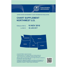 Vendor:AeroNav Products
FAA Chart Supplement NW (Airport/Facility Directory North West) - 09/03/26 thru 10/29/26
Regular price $7.50Sale price $7.50 Regular priceUnit price per$8.00 -
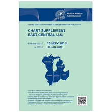 Vendor:AeroNav Products
FAA Chart Supplement EC (Airport/Facility Directory East Central) - 09/03/26 thru 10/29/26
Regular price $7.50Sale price $7.50 Regular priceUnit price per$8.00
