




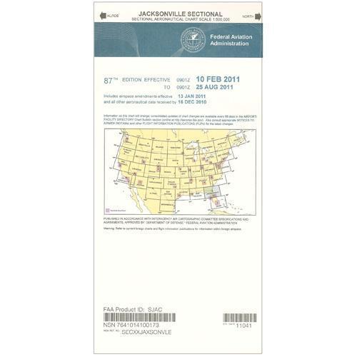
FAA Jacksonville VFR Sectional Aeronautical Chart - 09/03/26 thru 10/29/26
Final sale. This item can't be returned. Return policy
10083
Benefits
Benefits
Shipping & Delivery
Shipping & Delivery
Returns
Returns
The FAA Jacksonville Sectional Aeronautical Chart is an essential navigational tool for pilots flying in Northern Florida and Southern Georgia. It provides critical aeronautical information at the standard 1:500,000 scale and is updated every 56 days.
Official FAA Source Credibility: This FAA-authorized Jacksonville sectional chart offers direct-from-source accuracy and regulatory compliance that professional pilots and aviation enthusiasts demand.
Comprehensive Regional Coverage
This Florida VFR chart covers most of Northern Florida (excluding the Panhandle), much of Southern Georgia, and parts of the Gulf and Atlantic coasts. The chart's 1:500,000 scale (1 inch represents 6.86 nautical miles) includes essential aeronautical information. It details airports with runway specifications, lighting systems, and elevation data. Airspace dimensions, VHF and LF/MF navigational facilities with frequencies and identifiers, topographic features, landmarks, Air Traffic Control facilities with contact frequencies, water bodies, and obstruction markers are also included. Whether you're a commercial pilot planning routes, a flight instructor teaching navigation, or a private pilot exploring, this chart simplifies complex flight planning.
Updated Navigation Data
Updated every 56 days, this Northern Florida flight chart ensures pilots have the most current navigational data. The question "is Jacksonville sectional chart updated" becomes irrelevant when sourced directly from the FAA, where accuracy and timeliness are guaranteed. From training flights departing Jacksonville International to coastal adventures along Florida's shoreline, this pilot navigation chart is your trusted companion for safe Visual Flight Rules operations.
Fly safely and stay compliant in Northern Florida & Southern Georgia with the official FAA Jacksonville Sectional Chart. Get your FAA-authorized chart, updated every 56 days with critical navigation data, directly from the source. Order yours today!
Frequently Asked Questions
What geographic area does the Jacksonville sectional chart cover?
It covers most of Northern Florida (excluding the Panhandle), much of Southern Georgia, and parts of the Gulf and Atlantic coasts.
What scale is this chart printed at?
It uses the standard 1:500,000 scale, where 1 inch represents 6.86 nautical miles.
How often is the Jacksonville sectional chart updated?
It is updated every 56 days to ensure pilots have the most current navigational data.
What information is shown on the chart?
The chart includes airports with runway specifications, lighting systems, and elevation data; airspace dimensions; VHF and LF/MF navigational facilities with frequencies and identifiers; topographic features and landmarks; Air Traffic Control facility contact frequencies; water bodies; and obstruction markers.
Is this an official FAA chart?
Yes. It is published by AeroNav Products and is FAA-authorized, providing direct-from-source accuracy and regulatory compliance.
Is this chart available as a PDF or digital download?
It is available as the printed physical chart only. No digital or PDF format is offered.
Can this chart be returned if I order the wrong one?
No. This item is non-returnable, which is standard for FAA charts since they are time-sensitive official publications.
Is the Jacksonville sectional useful for IFR flying or only VFR?
This is a VFR Sectional Aeronautical Chart and is specifically designed to support Visual Flight Rules operations. It is not an IFR en route or approach chart.
-
 Vendor:AeroNav Products
FAA Green Bay VFR Sectional Aeronautical Chart - 09/03/26 thru 10/29/26
Regular price $8.50Sale price $8.50 Regular priceUnit price per$9.75

