
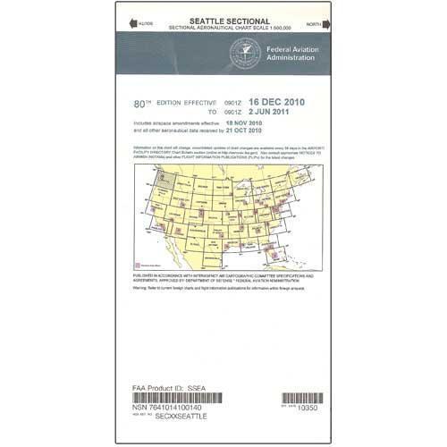
FAA Seattle VFR Sectional Aeronautical Chart - 10/02/25 thru 11/27/25
FAA Seattle VFR Sectional Aeronautical Chart - 10/02/25 thru 11/27/25
10105
Couldn't load pickup availability
Benefits
Benefits
Shipping
Shipping
Returns
Returns
Notify Me When Available!
This item is currently sold out. Be the first to know when it's back in stock.
The FAA Seattle sectional chart is the essential VFR navigation map for pilots flying in Washington State, northern Oregon, and the US/Canada border region.
This official FAA VFR sectional chart Seattle edition offers the most current aeronautical data, updated every 56 days for regulatory compliance and flight safety.
Comprehensive Aeronautical Data for Confident Navigation
Plan cross-country flights or navigate complex Pacific Northwest airspace with this full-color, foldable sectional chart. It provides detailed airport data, including runway lengths, lighting systems, and elevation details. You'll also find comprehensive airspace boundaries, radio navigation aids with frequencies, prominent landmarks, topographic features, and ATC contact information. The chart's 1:500,000 scale balances detail and coverage, spanning from the Pacific Coast across Washington into northern Oregon, ideal for local and regional flights.
Updated Information for Safe Flight Planning
Whether you're a student pilot preparing for checkrides, a CFI teaching navigation fundamentals, or an experienced aviator conducting charter operations, this chart addresses the unique challenges of border region flying. How often is the Seattle FAA sectional updated to maintain accuracy? The 56-day update cycle ensures you have the latest airspace changes, new structures, frequency modifications, and airport information, enhancing your situational awareness and helping you avoid airspace violations.
Fly with the latest official FAA data for the Pacific Northwest and US/Canada border; our Seattle Sectional Chart is updated every 56 days for your safety and compliance. Get yours now!
Reviews / Question and Answer
Best Sellers
-
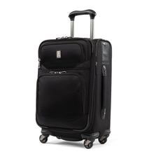 On SaleVendor:Travelpro
Travelpro FlightCrew5 21" Expandable Spinner: Navigate Airports with Ease and Style
Regular price $235.00Sale price $235.00 Regular priceUnit price per$350.00 -
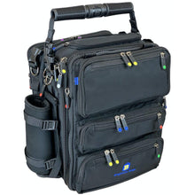 Vendor:BrightLine Bags
BrightLine Bags B7 Flight Bag – Modular Pilot Gear Organizer
Regular price $305.00Sale price $305.00 Regular priceUnit price per$305.00 -
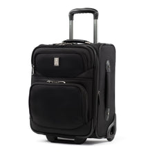 On SaleVendor:Travelpro
Travelpro FlightCrew5 18" Expandable Rollaboard: Durable Luggage for Aviation Professionals
Regular price $185.00Sale price $185.00 Regular priceUnit price per$290.00 -
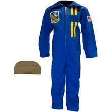 Vendor:Trooper Clothing
Blue Angels Kids Pilot Suit & Cap by Trooper Clothing
Regular price $57.99Sale price $57.99 Regular priceUnit price per$59.95 -
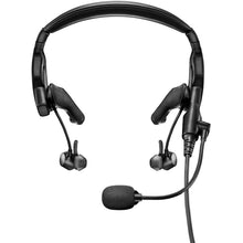 Vendor:Bose
Bose ProFlight Series 2 ANR Aviation Headset Dual GA Plugs with Bluetooth 789812-5020
Regular price $1,099.00Sale price $1,099.00 Regular priceUnit price per -
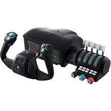 Vendor:Turtle Beach
Turtle Beach VelocityOne Premium Flight Simulator Control System (Xbox Series X|S, One, PC)
Regular price $399.99Sale price $399.99 Regular priceUnit price per$379.95


-
 25+ Years of Experience
 -
 Family-Owned & Operated
 -
 Same Day Shipping
 -
 30 Day Money Back Guarantee
- Choosing a selection results in a full page refresh.
- Opens in a new window.