


FAA San Francisco VFR Terminal Area Chart - 07/09/26 thru 09/03/26
10139
Benefits
Benefits
Shipping & Delivery
Shipping & Delivery
Returns
Returns
The FAA San Francisco VFR Terminal Area Chart simplifies navigating the complex Bay Area airspace for pilots operating near one of the nation's busiest airports.
This official chart, with a 1:250,000 scale, offers unmatched detail compared to standard navigation charts, making it essential for safe Class B airspace operations.
Navigate San Francisco's Class B Airspace with Confidence
Pilots seeking the current San Francisco terminal area chart edition will find precision in this full-color chart. It covers the congested airspace around San Francisco International Airport (SFO), displaying critical landmarks, communication channels, and altitude restrictions. This chart is indispensable for local general aviation pilots, flight instructors, or visiting pilots unfamiliar with Bay Area VFR operations. It provides the situational awareness needed to navigate safely through some of the most challenging airspace in the country.
Plan Safe Routes with the VFR Flyway Planning Chart
The reverse side features a comprehensive VFR Flyway Planning Chart, answering the common question, "Where to buy San Francisco VFR terminal chart coverage for safe routing?" It presents recommended flight paths and altitudes to help slower aircraft avoid conflicts with faster, commercial traffic. Updated every 56 days, this San Francisco airport VFR chart ensures pilots have access to current aeronautical data, making it a low-cost investment in flight safety and regulatory compliance for anyone operating in the San Francisco Bay Area's dynamic airspace.
Fly San Francisco's challenging Class B airspace safely and with unmatched clarity using the official FAA Terminal Area Chart, complete with VFR Flyways and 56-day updates. Get your essential chart now!
-
 SaleVendor:AeroNav Products
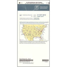
FAA Albuquerque VFR Sectional Aeronautical Chart - 07/09/26 thru 09/03/26
Regular price $8.50Sale price $8.50 Regular priceUnit price per$9.75 -
 SaleVendor:AeroNav Products
FAA Anchorage VFR Sectional Chart for Alaska Pilots - 07/09/26 thru 09/03/26
Regular price $7.50Sale price $7.50 Regular priceUnit price per$7.55 -
 SaleVendor:AeroNav Products
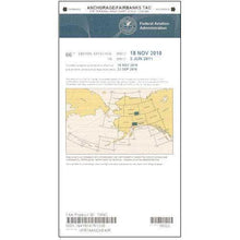
FAA Anchorage/Fairbanks Terminal Area Chart for Alaska Pilots - 07/09/26 thru 09/03/26
Regular price $5.99Sale price $5.99 Regular priceUnit price per$6.20 -
 SaleVendor:AeroNav Products
FAA Atlanta VFR Sectional Aeronautical Chart - 07/09/26 thru 09/03/26
Regular price $8.50Sale price $8.50 Regular priceUnit price per$9.75 -
 SaleVendor:AeroNav Products
FAA Atlanta VFR Terminal Area Chart - 07/09/26 thru 09/03/26
Regular price $5.99Sale price $5.99 Regular priceUnit price per$6.20 -
 SaleVendor:AeroNav Products
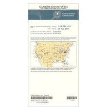
FAA Baltimore - Washington VFR Terminal Area Chart - 07/09/26 thru 09/03/26
Regular price $5.99Sale price $5.99 Regular priceUnit price per$6.20 -
 SaleVendor:AeroNav Products
FAA Bethel VFR Sectional Chart for Alaska Pilots - 07/09/26 thru 09/03/26
Regular price $7.50Sale price $7.50 Regular priceUnit price per$7.55 -
 SaleVendor:AeroNav Products
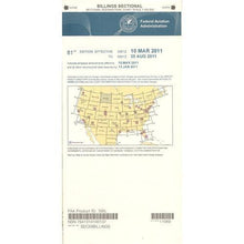
FAA Billings VFR Sectional Aeronautical Chart - 07/09/26 thru 09/03/26
Regular price $8.50Sale price $8.50 Regular priceUnit price per$9.75 -
 SaleVendor:AeroNav Products
FAA Boston VFR Terminal Area Chart - 07/09/26 thru 09/03/26
Regular price $5.99Sale price $5.99 Regular priceUnit price per$6.20 -
 SaleVendor:AeroNav Products
FAA Brownsville VFR Sectional Aeronautical Chart - 07/09/26 thru 09/03/26
Regular price $8.50Sale price $8.50 Regular priceUnit price per$9.75


-
 FREE U.S. Shipping (on $100+)Save on outbound delivery!
 -
 Authorized DealerGenuine Gear
 -
 Expert Pilot SupportGear Tested by Real Pilots
 -
 SHIPS TODAY (Order by 3 PM ET)Get It Faster!
- Choosing a selection results in a full page refresh.
- Opens in a new window.