


FAA Salt Lake City VFR Terminal Area Chart - 07/09/26 thru 09/03/26
10137
Benefits
Benefits
Shipping & Delivery
Shipping & Delivery
Returns
Returns
The FAA Salt Lake City Terminal Area Chart is a specialized navigation tool designed for pilots operating in the complex Salt Lake City Class B airspace.
Dual-Purpose Design: This chart combines a detailed SLC TAC chart and a VFR Flyway Planning Chart on the reverse side, offering comprehensive navigation information in one essential resource.
Enhanced Detail for Safe Navigation
Experience the enhanced detail that this chart provides. The large 1:250,000 scale reveals critical visual landmarks, altitude restrictions, and radio frequencies. These details are crucial for professional pilots, flight instructors, and VFR aviators navigating the busy airspace around Salt Lake City International Airport. Situational awareness is key to avoiding airspace violations and ensuring a smooth flight.
VFR Flyway Planning for Efficient Flight Paths
The reverse side VFR flyway chart addresses the common pilot concern: "Which chart shows SLC VFR flyways for avoiding faster traffic?" This innovative design presents established flight paths and recommended altitudes, helping slower aircraft safely navigate around commercial traffic patterns. Updated every 56 days, this FAA-produced chart ensures pilots have current information for both terminal area navigation and flyway planning.
Fly confidently and efficiently in Salt Lake City's Class B airspace with our dual-purpose FAA chart, featuring enhanced visual detail and all critical safety information in one. Get yours now!
-
 SaleVendor:AeroNav Products
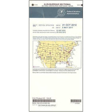
FAA Albuquerque VFR Sectional Aeronautical Chart - 07/09/26 thru 09/03/26
Regular price $8.50Sale price $8.50 Regular priceUnit price per$9.75 -
 SaleVendor:AeroNav Products
FAA Anchorage VFR Sectional Chart for Alaska Pilots - 07/09/26 thru 09/03/26
Regular price $7.50Sale price $7.50 Regular priceUnit price per$7.55 -
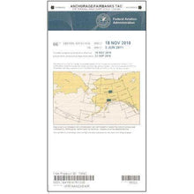 SaleVendor:AeroNav Products
FAA Anchorage/Fairbanks Terminal Area Chart for Alaska Pilots - 07/09/26 thru 09/03/26
Regular price $5.99Sale price $5.99 Regular priceUnit price per$6.20 -
 SaleVendor:AeroNav Products
FAA Atlanta VFR Sectional Aeronautical Chart - 07/09/26 thru 09/03/26
Regular price $8.50Sale price $8.50 Regular priceUnit price per$9.75 -
 SaleVendor:AeroNav Products
FAA Atlanta VFR Terminal Area Chart - 07/09/26 thru 09/03/26
Regular price $5.99Sale price $5.99 Regular priceUnit price per$6.20 -
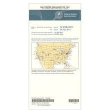 SaleVendor:AeroNav Products
FAA Baltimore - Washington VFR Terminal Area Chart - 07/09/26 thru 09/03/26
Regular price $5.99Sale price $5.99 Regular priceUnit price per$6.20 -
 SaleVendor:AeroNav Products
FAA Bethel VFR Sectional Chart for Alaska Pilots - 07/09/26 thru 09/03/26
Regular price $7.50Sale price $7.50 Regular priceUnit price per$7.55 -
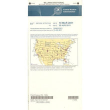 SaleVendor:AeroNav Products
FAA Billings VFR Sectional Aeronautical Chart - 07/09/26 thru 09/03/26
Regular price $8.50Sale price $8.50 Regular priceUnit price per$9.75 -
 SaleVendor:AeroNav Products
FAA Boston VFR Terminal Area Chart - 07/09/26 thru 09/03/26
Regular price $5.99Sale price $5.99 Regular priceUnit price per$6.20 -
 SaleVendor:AeroNav Products
FAA Brownsville VFR Sectional Aeronautical Chart - 07/09/26 thru 09/03/26
Regular price $8.50Sale price $8.50 Regular priceUnit price per$9.75


-
 FREE U.S. Shipping (on $100+)Save on outbound delivery!
 -
 Authorized DealerGenuine Gear
 -
 Expert Pilot SupportGear Tested by Real Pilots
 -
 SHIPS TODAY (Order by 3 PM ET)Get It Faster!
- Choosing a selection results in a full page refresh.
- Opens in a new window.