

FAA Cincinnati VFR Sectional Aeronautical Chart - 10/02/25 thru 11/27/25
FAA Cincinnati VFR Sectional Aeronautical Chart - 10/02/25 thru 11/27/25
10069
Couldn't load pickup availability
Benefits
Benefits
Shipping
Shipping
Returns
Returns
Notify Me When Available!
This item is currently sold out. Be the first to know when it's back in stock.
FAA Cincinnati Sectional Chart: The essential visual navigation chart for pilots flying in Ohio, Kentucky, Virginia, West Virginia, and parts of Tennessee and North Carolina.
Official FAA Source: This chart provides the most comprehensive and accurate navigational data, ensuring regulatory compliance and safety.
The FAA Cincinnati sectional chart is a vital tool for pilots asking, "What areas does the Cincinnati sectional cover?" It includes detailed airport data, airspace dimensions, and navigational facilities. With a detailed view showing 6.86 nautical miles per inch, it transforms complex flight planning into confident navigation decisions for professional pilots, flight instructors, and general aviation enthusiasts.
Comprehensive Coverage & Information
This full-color, foldable chart offers extensive regional information, including airport data with runway lengths, lighting systems, and elevation details. It features VHF and LF/MF navigational facilities with frequencies and identification codes, prominent landmarks, cities, towns, topographic information, Air Traffic Control facilities, bodies of water, and obstruction details.
Importance of Regular Updates
The question "When does the Cincinnati sectional chart expire?" highlights the significance of its 56-day update cycle. Having the most current edition ensures access to the latest airspace changes, frequency updates, and navigational modifications, crucial for flight safety and regulatory compliance.
Ensure safe, compliant, and accurate VFR navigation with the official FAA Cincinnati Sectional Chart, offering comprehensive regional coverage and the latest information through crucial 56-day updates. Get your current edition now!
Reviews / Question and Answer
Best Sellers
-
 Vendor:Aviation-Press
Everything Explained for the Professional Pilot – 15th Edition: The Ultimate Aviation Resource
Regular price $51.99Sale price $51.99 Regular priceUnit price per$59.95 -
 Vendor:David Clark
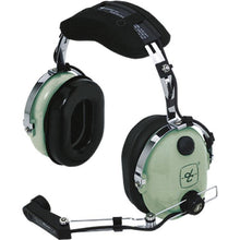
David Clark H10-30 Aviation Headset: 24 dB Noise Reduction for Pilots 12508G-17
Regular price $319.95Sale price $319.95 Regular priceUnit price per$334.75 -
 Vendor:Thrustmaster
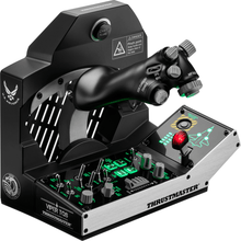
Thrustmaster Viper TQS Mission Pack: Metal Throttle Quadrant System (PC)
Regular price $499.99Sale price $499.99 Regular priceUnit price per -
 Vendor:Lightspeed
Lightspeed Zulu 3 Premium ANR Bluetooth Aviation Headset
Regular price $949.00Sale price $949.00 Regular priceUnit price per -
 Vendor:David Clark
David Clark H10-13S Stereo Aviation Headset: Unmatched Comfort & Superior Clarity for Pilots 40422G-01
Regular price $369.95Sale price $369.95 Regular priceUnit price per$410.45 -
 On SaleVendor:Bose
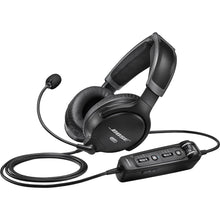
Bose A30 ANR Aviation Headset U174 Helicopter Battery Power with Bluetooth 857641-3130
Regular price $1,299.00Sale price $1,299.00 Regular priceUnit price per


-
 25+ Years of ExperienceServing aviators since 1998.
 -
 Family-Owned & OperatedFrom our family to yours.
 -
 Same Day ShippingGet your gear faster.
 -
 30 Day Money Back GuaranteeShop with confidence
- Choosing a selection results in a full page refresh.
- Opens in a new window.