
Description
High-flying aviators who frequently operate in Class A airspace understand the critical importance of utilizing Enroute High Altitude Charts. These four-color FAA publications present a wealth of important data relevant to IFR ops at & above 18,000 feet, including VHF navigational facilities (frequency, ID, geographic coordinates, and channel), Jet Routes, RNAV Q-Routes, IFR reporting points, select aerodromes, and more need-to-know info for safe flight in the flight levels.
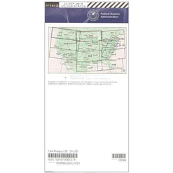
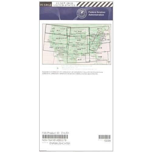
This H-1 and H-2 chart covers the Northwest and North Central US from Washington and Oregon on the Pacific Coast to Wisconsin and Upper Michigan in the Great Lakes region. Uses a scale of 20 nm per inch and is revised every 56 days. Available as a one-time purchase or as a subscription, this is one source of essential flight data that no high-altitude pilot should fly without.
This H-1 and H-2 chart covers the Northwest and North Central US from Washington and Oregon on the Pacific Coast to Wisconsin and Upper Michigan in the Great Lakes region. Uses a scale of 20 nm per inch and is revised every 56 days. Available as a one-time purchase or as a subscription, this is one source of essential flight data that no high-altitude pilot should fly without.
CHART