
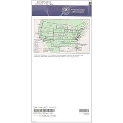
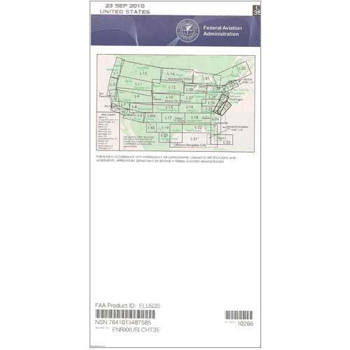
Description
Instrument-rated pilots, CFIIs, and instrument trainees who operate in the Mid-Atlantic region need the latest version of the FAA's L-35/L-36 Enroute Low Altitude Chart to help them stay safe, efficient, and informed whenever they aviate on the gauges. Developed for navigational use up to (but not including) 18,000 feet, this 4-color chart portrays such crucial IFR data as Victor Airways, navigational fixes, ATC reporting points, military training routes (MTRs), RNAV routes, special use airspace, controlled airspace boundaries, VHF navigational facilities (frequency, ID, geographic coordinates, and channel), and much more safety-of-flight info.
The L-35 & L-36 chart covers the coastal Mid-Atlantic area, including portions of NC, SC, VA, MD, DE, and the District of Columbia. Low-altitude chart scales vary from 5 to 20 nm per inch. Published on the FAA's standard 56-day cycle. PilotMall.com offers this chart both as a one-time purchase and as an ongoing subscription. A low-cost, high-value compilation of essential aeronautical info for every area pilot who aviates under IFR.
The L-35 & L-36 chart covers the coastal Mid-Atlantic area, including portions of NC, SC, VA, MD, DE, and the District of Columbia. Low-altitude chart scales vary from 5 to 20 nm per inch. Published on the FAA's standard 56-day cycle. PilotMall.com offers this chart both as a one-time purchase and as an ongoing subscription. A low-cost, high-value compilation of essential aeronautical info for every area pilot who aviates under IFR.
CHART