

Description
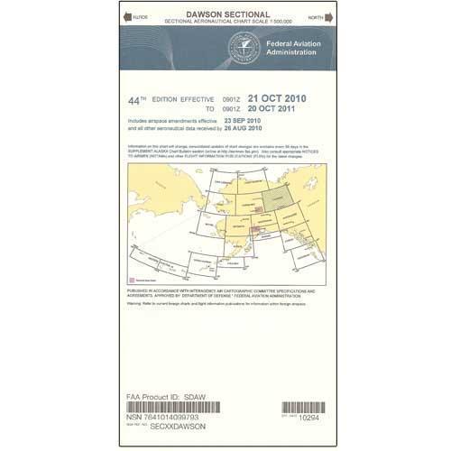
Adventurous pilots lucky enough to aviate in the remote region of extreme Northeastern Alaska need a reliable source of aeronautical navigation data to help keep them safe during their time well off the beaten path. Fortunately, the FAA's Dawson Sectional Chart provides all the need-to-know aviation info to help them maintain their situational awareness from takeoff to touchdown. As with all charts in the FAA's Sectional series, this foldable, full-color chart is loaded with valuable aviation data including airport info (runway lengths, lighting, elevation, services available, surface type, etc.); airspace dimensions; VHF and LF/MF navigational facilities (frequency, ID, and channel); landmarks; cities & towns; elevation/topographic info; ATC entities and associated contact/radio frequencies; bodies of water; obstructions; and much, much more.
The Dawson Sectional covers the airspace in extreme Northeastern Alaska, including along the Alaska/Canada border. Uses the standard 1:500,000 (6.86 nm per inch; 2.70 nm per cm) scale characteristic of sectional charts. Updated annually. An affordable, info-packed source of relevant FAA data that no adventurous pilot in the area can afford to fly without.
The Dawson Sectional covers the airspace in extreme Northeastern Alaska, including along the Alaska/Canada border. Uses the standard 1:500,000 (6.86 nm per inch; 2.70 nm per cm) scale characteristic of sectional charts. Updated annually. An affordable, info-packed source of relevant FAA data that no adventurous pilot in the area can afford to fly without.
CHART