

Description
For low-altitude instrument pilots, the FAA's Enroute Low Altitude Charts are the official, go-to source for all the critical info you need to safely operate in the IFR environment. Designed for navigational use up to (but not including) 18,000 feet, these 4-color charts depict such need-to-know info as Victor Airways, navigational fixes, ATC reporting points, military training routes (MTRs), RNAV routes, special use airspace, controlled airspace boundaries, VHF navigational facilities (frequency, ID, geographic coordinates, and channel), and much more safety-of-flight data.
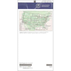
Ideal for extended East-West IFR ops in the Gulf Coast states, the L-17 & L-18 chart covers much of the South Central and Southeast stretching from TX and OK all the way to GA. Also covers portions of AR, LA, MS, AL, and a sliver of SC. Low-altitude chart scales vary from 5 to 20 nm per inch. Published on the FAA's standard 56-day cycle. Available both as a one-time purchase or as a subscription, this is an affordable, value-packed resource that should be a "no-go" item for all IFR flights in the Southeast and South Central region.
Ideal for extended East-West IFR ops in the Gulf Coast states, the L-17 & L-18 chart covers much of the South Central and Southeast stretching from TX and OK all the way to GA. Also covers portions of AR, LA, MS, AL, and a sliver of SC. Low-altitude chart scales vary from 5 to 20 nm per inch. Published on the FAA's standard 56-day cycle. Available both as a one-time purchase or as a subscription, this is an affordable, value-packed resource that should be a "no-go" item for all IFR flights in the Southeast and South Central region.
CHART