

Description
If you'll be aviating visually in or around The Big Easy, the FAA's full-color, detail-rich New Orleans Terminal Area Chart is an outstanding cockpit companion to help take your situational awareness to the next level. Although Sectional Charts are top-notch tools for enroute navigation, TACs rule the sky when it comes to aviating safely in congested, Class B airspace. TACs utilize a large (1:250,000; 3.43 nm per inch [1.35 nm per cm]) scale that allows them to depict additional landmarks, important altitudes, radio frequencies, and other noteworthy aeronautical data that's not feasible to include on sectionals. Additionally, several TACs feature VFR Flyway Planning Charts on the reverse side, which present flight paths and altitudes to help low, slow flyers steer clear of larger, quicker aircraft.
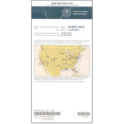
The New Orleans TAC provides a detailed portrayal of the Class Bravo airspace centered around the Louis Armstrong New Orleans International Airport (MSY). As with all TAC publications, this chart is revised on a 6-month cycle. A top-of-the-line, low-cost resource to strengthen your situational awareness and operational safety while flying around The Crescent City.
The New Orleans TAC provides a detailed portrayal of the Class Bravo airspace centered around the Louis Armstrong New Orleans International Airport (MSY). As with all TAC publications, this chart is revised on a 6-month cycle. A top-of-the-line, low-cost resource to strengthen your situational awareness and operational safety while flying around The Crescent City.
CHART