
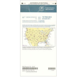
Description
For pilots who ply the skies over Northern Florida and Southern Georgia, the FAA's Jacksonville Sectional Aeronautical Chart is loaded with aeronautical info that will help them stay safe and informed from takeoff to touchdown. As is characteristic of the FAA's entire lineup of sectional charts, the Jacksonville Sectional contains such need-to-know aeronautical data as airport info (runway lengths, lighting, elevation, services available, surface type, etc.); airspace dimensions; VHF and LF/MF navigational facilities (frequency, ID, and channel); landmarks; cities & towns; elevation/topographic info; ATC entities and associated contact/radio frequencies; bodies of water; obstructions; and much, much more.
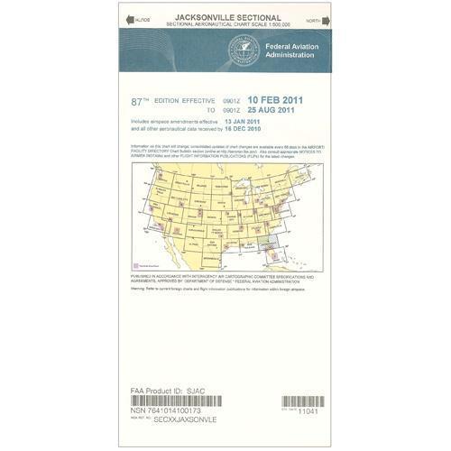
The Jacksonville Sectional covers most of Northern Florida (minus the Panhandle) and much of Southern Georgia, as well as portions of both the Gulf and Atlantic Coasts. Uses the standard 1:500,000 (6.86 nm per inch; 2.70 nm per cm) scale characteristic of sectional charts. Updated every six months. An affordable, intuitive source of need-to-know FAA data that no pilot in the area should ever fly without.
The Jacksonville Sectional covers most of Northern Florida (minus the Panhandle) and much of Southern Georgia, as well as portions of both the Gulf and Atlantic Coasts. Uses the standard 1:500,000 (6.86 nm per inch; 2.70 nm per cm) scale characteristic of sectional charts. Updated every six months. An affordable, intuitive source of need-to-know FAA data that no pilot in the area should ever fly without.
CHART