
Description
Pilots who aviate VFR around America's Finest City owe it to themselves to acquire a copy of the FAA's remarkably informative, full-color San Diego Terminal Area Chart (TAC) to get the most out of their situational awareness while also enhancing their operational efficiency. Whereas Sectional Charts are perhaps the best choice for enroute navigation, TACs reign supreme for operations in congested, Class B airspace. TACs utilize a large (1:250,000; 3.43 nm per inch [1.35 nm per cm]) scale that allows them to depict additional landmarks, important altitudes, radio frequencies, and other noteworthy aeronautical data that's not feasible to include on sectionals. Additionally, the San Diego TAC features a VFR Flyway Planning Chart on the reverse side, which presents flight paths and altitudes to help low, slow aviators steer clear of larger, faster air traffic.
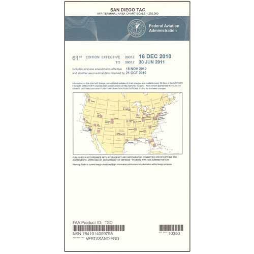
The San Diego TAC provides a detailed portrayal of the Class Bravo airspace centered around the San Diego International Airport (SAN). As is characteristic of all TAC publications, this chart is updated on a 6-month cycle. A proven, easy-to-use, info-rich resource for safety and situational awareness that's second to none.
The San Diego TAC provides a detailed portrayal of the Class Bravo airspace centered around the San Diego International Airport (SAN). As is characteristic of all TAC publications, this chart is updated on a 6-month cycle. A proven, easy-to-use, info-rich resource for safety and situational awareness that's second to none.
CHART