
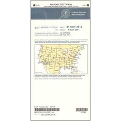
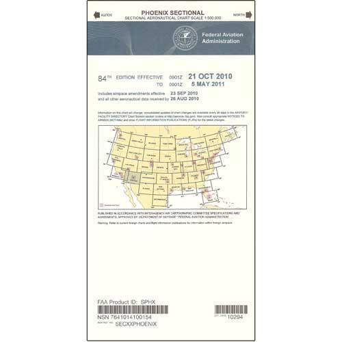
Description
Aviators who operate in the vicinity of the Arizona/Mexico border understand the importance of maintaining situational awareness at all times. Fortunately, the FAA's immensely popular series of Sectional Aeronautical Charts makes it easy for pilots to accurately and reliably navigate in the vicinity of the nation's southern border. These foldable, full-color charts are loaded with valuable aviation data including airport info (runway lengths, lighting, elevation, services available, surface type, etc.); airspace dimensions; VHF and LF/MF navigational facilities (frequency, ID, and channel); landmarks; cities & towns; elevation/topographic info; ATC entities and associated contact/radio frequencies; bodies of water; obstructions; and much, much more.
The Phoenix Sectional covers much of Arizona, a portion of Southern California, a sliver of Nevada, and the region of the Arizona/Mexico border. Uses the standard 1:500,000 (6.86 nm per inch; 2.70 nm per cm) scale characteristic of sectional charts. Updated every six months. A cost-effective, high-caliber source of relevant FAA data that no aviator in the border region should ever fly without.
The Phoenix Sectional covers much of Arizona, a portion of Southern California, a sliver of Nevada, and the region of the Arizona/Mexico border. Uses the standard 1:500,000 (6.86 nm per inch; 2.70 nm per cm) scale characteristic of sectional charts. Updated every six months. A cost-effective, high-caliber source of relevant FAA data that no aviator in the border region should ever fly without.
CHART