
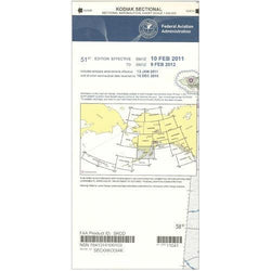
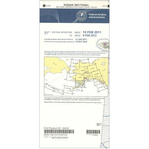
Description
Adventurous aviators fortunate enough to fly in the austere environment of Southwestern Alaska need a reliable source of aeronautical navigation data to help keep them safe during their operations in such a rugged, unforgiving area. Fortunately, the FAA's Kodiak Sectional Chart provides all the need-to-know aviation info to help them maintain their situational awareness from takeoff to touchdown. As with all charts in the FAA's Sectional series, this foldable, full-color chart is loaded with valuable aviation data including airport info (runway lengths, lighting, elevation, services available, surface type, etc.); airspace dimensions; VHF and LF/MF navigational facilities (frequency, ID, and channel); landmarks; cities & towns; elevation/topographic info; ATC entities and associated contact/radio frequencies; bodies of water; obstructions; and much, much more.
The Kodiak Sectional covers the Southwestern portion of Alaska around Kodiak Island and Katmai National Park, as well as the coastal areas of Bristol Bay, the Gulf of Alaska, and the Pacific Ocean. Uses the standard 1:500,000 (6.86 nm per inch; 2.70 nm per cm) scale characteristic of sectional charts. Revised annually. An affordable, info-packed source of relevant FAA data that should be in every area pilot's aeronautical arsenal.
The Kodiak Sectional covers the Southwestern portion of Alaska around Kodiak Island and Katmai National Park, as well as the coastal areas of Bristol Bay, the Gulf of Alaska, and the Pacific Ocean. Uses the standard 1:500,000 (6.86 nm per inch; 2.70 nm per cm) scale characteristic of sectional charts. Revised annually. An affordable, info-packed source of relevant FAA data that should be in every area pilot's aeronautical arsenal.
CHART