Description
If you're lucky enough to fly along Alaska's rugged, scenic southern coast, the FAA's Seward Sectional Aeronautical Chart is just the item you need to ensure you don't miss any of the area's unique natural beauty. Like all charts in the FAA's Sectional series, this foldable, full-color chart is loaded with valuable aviation data including airport info (runway lengths, lighting, elevation, services available, surface type, etc.); airspace dimensions; VHF and LF/MF navigational facilities (frequency, ID, and channel); landmarks; cities & towns; elevation/topographic info; ATC entities and associated contact/radio frequencies; bodies of water; obstructions; and much, much more.
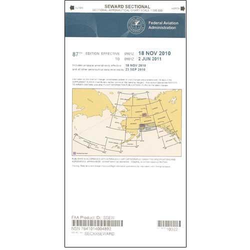
The Seward Sectional covers the central portion of Alaska's southern coast including the Kenai Fjords National Park, Prince William Sound, and the Gulf of Alaska. Uses the standard 1:500,000 (6.86 nm per inch; 2.70 nm per cm) scale characteristic of sectional charts. The majority of sectionals are updated every six months, though several Alaska charts are revised annually. A high-caliber, data-rich collection of essential aeronautical info for pilots who ply the skies of picturesque Southern Alaska.
The Seward Sectional covers the central portion of Alaska's southern coast including the Kenai Fjords National Park, Prince William Sound, and the Gulf of Alaska. Uses the standard 1:500,000 (6.86 nm per inch; 2.70 nm per cm) scale characteristic of sectional charts. The majority of sectionals are updated every six months, though several Alaska charts are revised annually. A high-caliber, data-rich collection of essential aeronautical info for pilots who ply the skies of picturesque Southern Alaska.
CHART


