
-
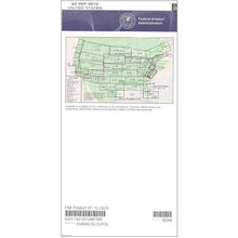
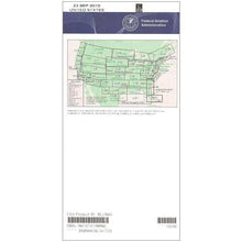 SaleVendor:AeroNav Products
FAA L23/24 Instrument Flight Rules (IFR) Enroute Low Altitude Chart - 05/14/26 thru 07/09/26
Regular price $5.00Sale price $5.00 Regular priceUnit price per$5.25 -
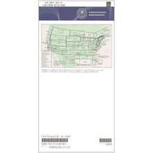
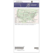
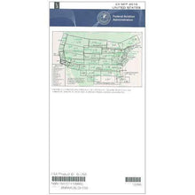 SaleVendor:AeroNav Products
FAA L3/4 Instrument Flight Rules (IFR) Enroute Low Altitude Chart - 05/14/26 thru 07/09/26
Regular price $5.00Sale price $5.00 Regular priceUnit price per$5.25 -

Fresh from The Hangar
The latest from top aviation brands. -
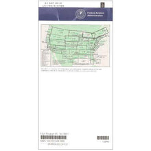
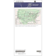 SaleVendor:AeroNav Products
FAA L27/28 Instrument Flight Rules (IFR) Enroute Low Altitude Chart - 05/14/26 thru 07/09/26
Regular price $5.00Sale price $5.00 Regular priceUnit price per$5.25 -
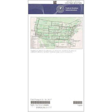
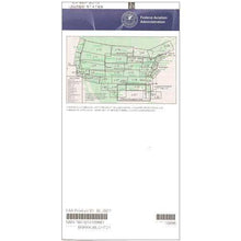 SaleVendor:AeroNav Products
FAA L21/22 Instrument Flight Rules (IFR) Enroute Low Altitude Chart - 05/14/26 thru 07/09/26
Regular price $5.00Sale price $5.00 Regular priceUnit price per$5.25 -
 SaleVendor:AeroNav Products
FAA L35/36 Instrument Flight Rules (IFR) Enroute Low Altitude Chart - 05/14/26 thru 07/09/26
Regular price $5.00Sale price $5.00 Regular priceUnit price per$5.25 -
 SaleVendor:AeroNav Products
FAA L33/34 Instrument Flight Rules (IFR) Enroute Low Altitude Chart - 05/14/26 thru 07/09/26
Regular price $5.00Sale price $5.00 Regular priceUnit price per$5.25 -
 SaleVendor:AeroNav Products
FAA L31/32 Instrument Flight Rules (IFR) Enroute Low Altitude Chart - 05/14/26 thru 07/09/26
Regular price $5.00Sale price $5.00 Regular priceUnit price per$5.25 -
 SaleVendor:AeroNav Products
FAA L17/18 Instrument Flight Rules (IFR) Enroute Low Altitude Chart - 05/14/26 thru 07/09/26
Regular price $5.00Sale price $5.00 Regular priceUnit price per$5.25 -
 SaleVendor:AeroNav Products
FAA L5/6 Instrument Flight Rules (IFR) Enroute Low Altitude Chart - 05/14/26 thru 07/09/26
Regular price $5.00Sale price $5.00 Regular priceUnit price per$5.25 -
 SaleVendor:AeroNav Products
FAA L7/8 Instrument Flight Rules (IFR) Enroute Low Altitude Chart - 05/14/26 thru 07/09/26
Regular price $5.00Sale price $5.00 Regular priceUnit price per$5.25 -
 SaleVendor:AeroNav Products
FAA L1/2 Instrument Flight Rules (IFR) Enroute Low Altitude Chart - 05/14/26 thru 07/09/26
Regular price $5.00Sale price $5.00 Regular priceUnit price per$5.25 -
 SaleVendor:AeroNav Products
FAA L9/10 Instrument Flight Rules (IFR) Enroute Low Altitude Chart - 05/14/26 thru 07/09/26
Regular price $5.00Sale price $5.00 Regular priceUnit price per$5.25 -
 SaleVendor:AeroNav Products
FAA L11/12 Instrument Flight Rules (IFR) Enroute Low Altitude Chart - 05/14/26 thru 07/09/26
Regular price $5.00Sale price $5.00 Regular priceUnit price per$5.25 -
 SaleVendor:AeroNav Products
FAA L13/14 Instrument Flight Rules (IFR) Enroute Low Altitude Chart - 05/14/26 thru 07/09/26
Regular price $5.00Sale price $5.00 Regular priceUnit price per$5.25 -
 SaleVendor:AeroNav Products
FAA L15/16 Instrument Flight Rules (IFR) Enroute Low Altitude Chart - 05/14/26 thru 07/09/26
Regular price $5.00Sale price $5.00 Regular priceUnit price per$5.25 -
 SaleVendor:AeroNav Products
FAA L19/20 Instrument Flight Rules (IFR) Enroute Low Altitude Chart - 05/14/26 thru 07/09/26
Regular price $5.00Sale price $5.00 Regular priceUnit price per$5.25 -
 SaleVendor:AeroNav Products
FAA L25/26 Instrument Flight Rules (IFR) Enroute Low Altitude Chart - 05/14/26 thru 07/09/26
Regular price $5.00Sale price $5.00 Regular priceUnit price per$5.25
Your cart is empty :(
Continue shopping
Fresh from The Hangar
The latest from top aviation brands.
Your cart


